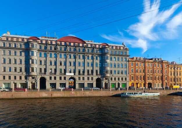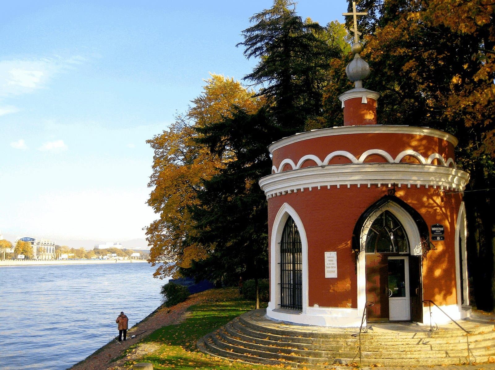

Petrograd was the name of this city from 1914 to 1924. The Petrograd Side is a district that still carries it. Those are two different things, and searching for one usually turns up the other, so this guide covers both: why the city changed its name three times in seventy-seven years, and what is actually worth walking on the island quarter that kept the name.
Why the city was called Petrograd
Saint Petersburg was founded in 1703 with a name that was deliberately German in form — Sankt-Peterburg, after the apostle rather than after Peter the Great himself, but shaped in the Dutch-German manner the founder admired.
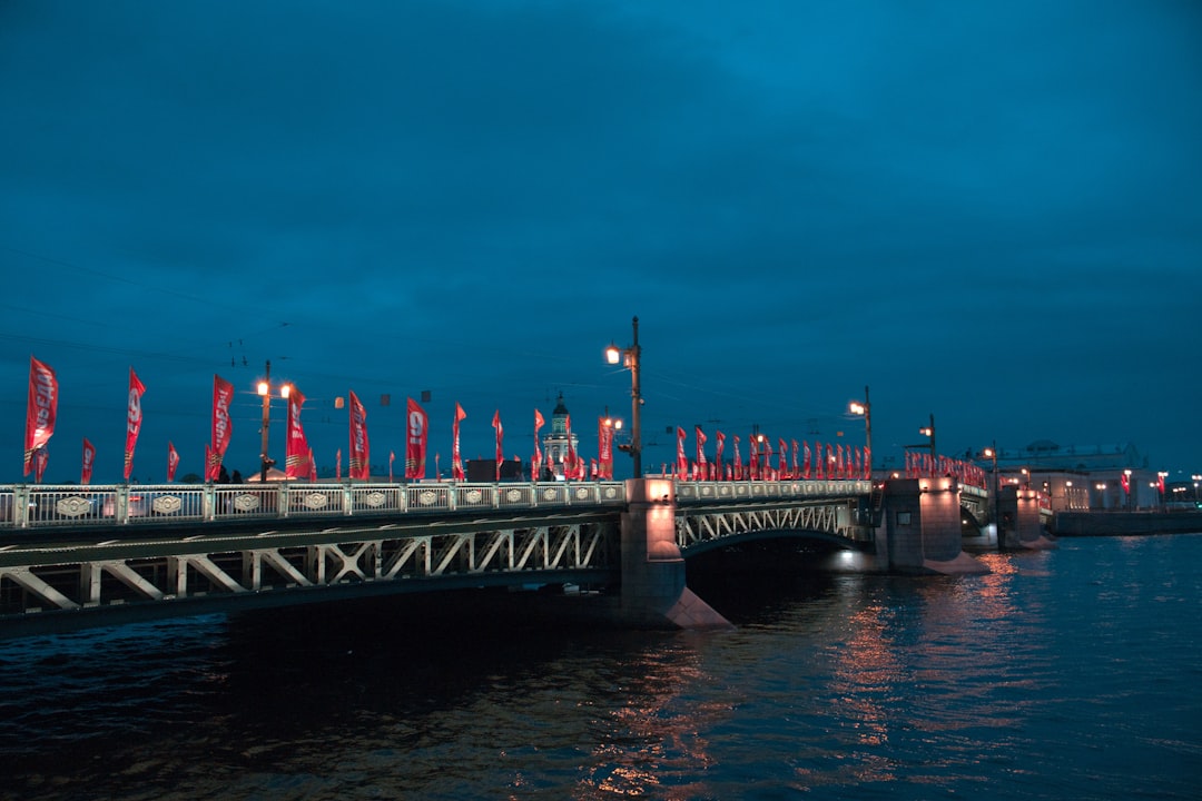
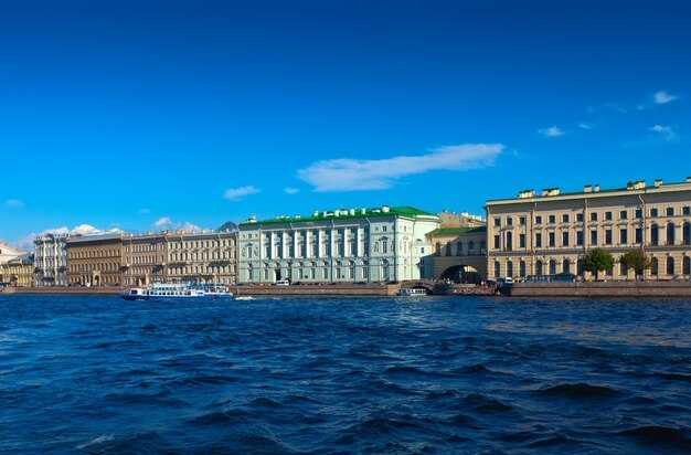
In 1914 Russia went to war with Germany, and a German-sounding capital became politically impossible. The name was Russified almost immediately: Petrograd, literally "Peter's city", using the Slavic grad instead of the German burg.
It held that name for ten years, which happen to be the ten most consequential years in modern Russian history. The revolutions of 1917 both happened in Petrograd. Every contemporary account of them uses that name, which is why it survives so strongly in books and in search.
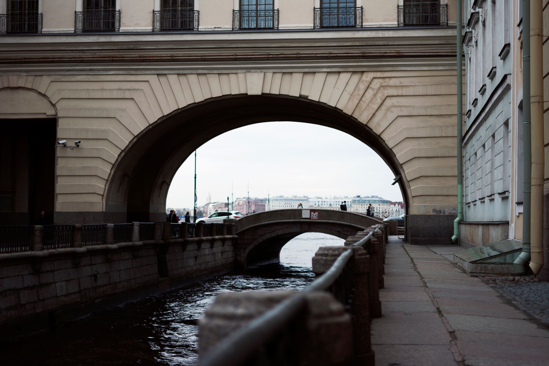
In 1924, five days after Lenin died, the city was renamed Leningrad. It stayed Leningrad through the siege and the whole Soviet period. In 1991 a city referendum returned the original name, and it has been Saint Petersburg since.
One thing that confuses people: the surrounding region is still called Leningrad Oblast. The city changed its name; the province around it did not.
So what is the Petrograd Side
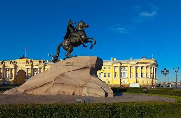
The Petrogradsky District — the Petrograd Side in everyday speech — is the group of islands north of the Neva, across the water from the Winter Palace. Petrogradsky Island is the main one, with Aptekarsky and Kamenny alongside.
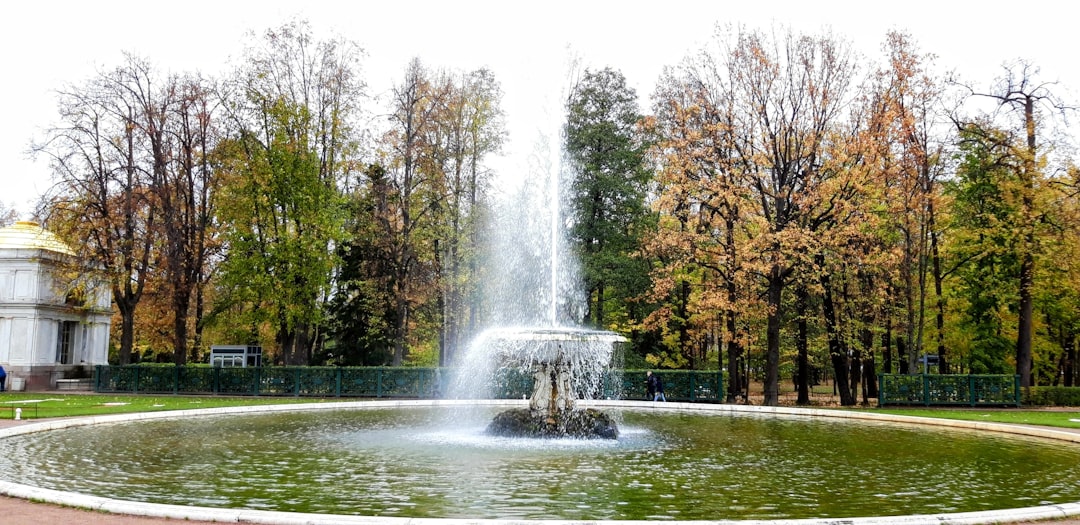
It is where the city began, and then it stopped and waited. The Peter and Paul Fortress went up here in 1703, and Peter's own log cabin stands a few hundred metres away. But the imperial capital grew on the opposite bank, and this side stayed half-rural for two centuries.
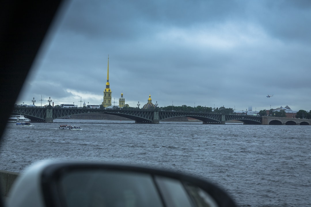
What changed it was a bridge. The permanent Trinity Bridge opened in 1903, land values jumped, and the whole quarter was built out in barely fifteen years — which is why the Petrograd Side is the most coherent stretch of northern Art Nouveau in Russia. Nearly everything dates from one short window before 1917.
What to actually walk
- The Peter and Paul Fortress. The cathedral inside holds the tombs of the Romanov emperors from Peter the Great onward. The noon gun still fires from the Naryshkin Bastion.
- The Cabin of Peter the Great on Petrovskaya Embankment — a log house of 1703, the oldest surviving building in the city, inside a protective brick shell. Two Manchurian guardian lions sit in front of it.
- Kamennoostrovsky Prospekt, the spine of the district and an unbroken run of Art Nouveau apartment blocks. The Leo Tolstoy Square end, with its towered building, is the set piece.
- The Kshesinskaya Mansion, built for a prima ballerina, seized in 1917 and used as Bolshevik headquarters — Lenin spoke from its balcony. It is now the Museum of Political History.
- The Cruiser Aurora, moored on the Petrogradskaya Embankment, whose blank shot signalled the assault on the Winter Palace.
- The Botanical Garden on Aptekarsky Island, founded by Peter as a garden of medicinal plants, with Victorian glasshouses.
- Alexander Park and the Leningrad Zoo, plus the Baltic House theatre, for a slower afternoon.