The UNESCO site is not "the centre of Saint Petersburg". Its official name is Historic Centre of Saint Petersburg and Related Groups of Monuments, and it covers thirty-six separate components spread over an area far larger than the city itself. Peterhof is in it. So is Kronstadt, so is the fortress at Shlisselburg forty kilometres up the Neva. This is the reference page: what exactly was inscribed, on what grounds, what is inside the boundary, and what that means if you are trying to see it.
The listing in brief
- Official name: Historic Centre of Saint Petersburg and Related Groups of Monuments
- Inscribed: 1990
- Reference number: 540
- Criteria: (i), (ii), (iv), (vi)
- Type: cultural, serial property — thirty-six components rather than one continuous zone
It was one of the first Soviet sites to go on the list, inscribed in the same year the country put forward the Kremlin and Kizhi. What made it unusual then and still does is the shape: most city inscriptions draw one line around one old town. This one gathers a capital, its imperial suburbs, a naval fortress island, an observatory and a set of historic roads into a single property.
What the criteria actually mean
UNESCO's criteria are numbered, and the four that apply here are worth unpacking, because they explain what the listing is claiming.
- (i) — a masterpiece of human creative genius. Applied to the ensemble itself: a planned capital built to a single idea within a couple of generations.
- (ii) — an interchange of human values. Italian, French, German and Russian architects working in one place, adapting European baroque and neoclassicism to a northern river delta.
- (iv) — an outstanding example of an architectural ensemble illustrating a significant stage in history. The eighteenth- and nineteenth-century imperial city, largely intact.
- (vi) — association with events and ideas of outstanding universal significance. The city's role in Russian history, from its founding as a deliberate window on Europe through the revolutions of the twentieth century.
What is actually inside the boundary
This is the part that surprises people. The property is not confined to the streets between the Neva and the Fontanka. Its components include:
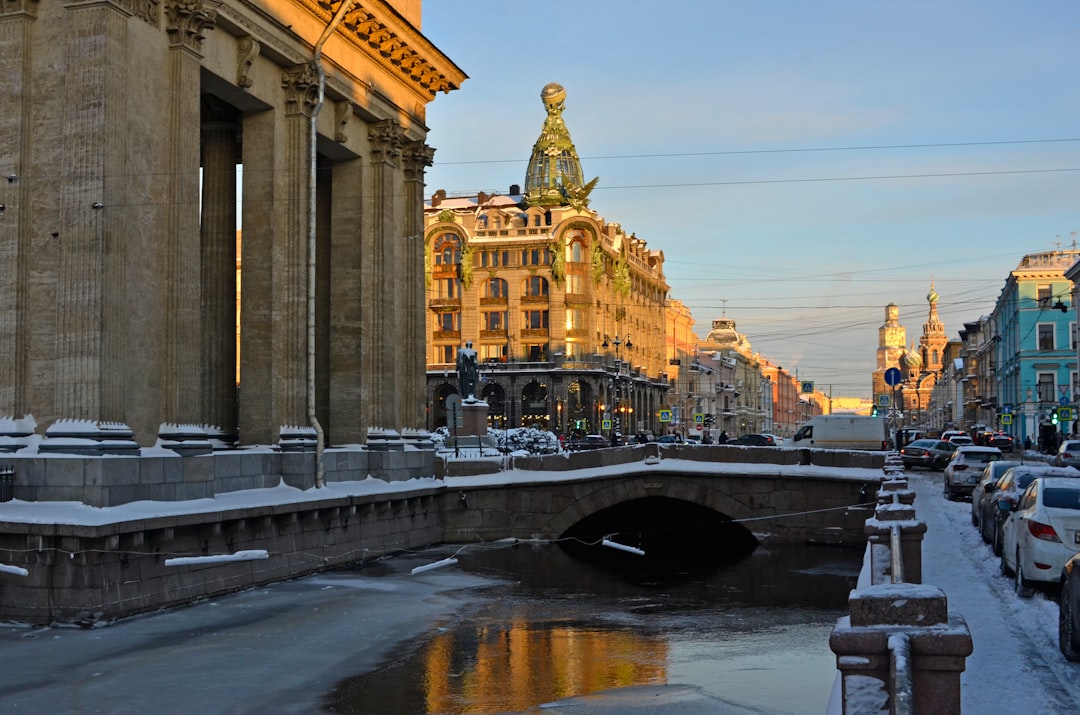
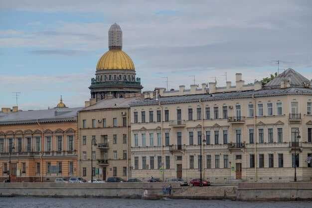
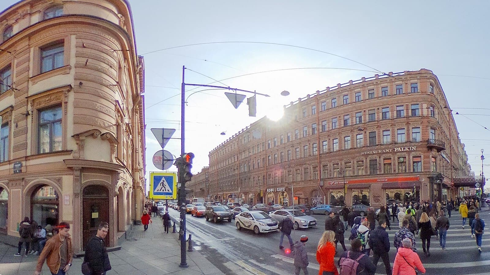
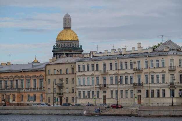
- The historic core — the Winter Palace and the Hermitage, Palace Square with the Alexander Column, the Admiralty, Nevsky Prospekt, St Isaac's Cathedral, the Church of the Savior on Spilled Blood, the granite embankments and the canal system.
- The Peter and Paul Fortress on Zayachy Island, where the city started in 1703.
- The imperial suburbs — Peterhof with its fountains, Tsarskoye Selo at Pushkin, Pavlovsk, Gatchina, Oranienbaum at Lomonosov, and Strelna. Each is a palace-and-park ensemble in its own right.
- Kronstadt on Kotlin Island, the naval town and its fortifications in the Gulf of Finland.
- The Oreshek fortress at Shlisselburg, on an island where the Neva leaves Lake Ladoga.
- Pulkovo Observatory, the historic roads linking the suburbs to the capital, and stretches of river bank and green corridor between them.
Practical consequence: you cannot "see the UNESCO site" in a day. What you can do in a day is see the core. The suburbs are separate day trips, and Kronstadt and Shlisselburg are a further step out again.
The part that stays contentious: height
A serial property this large is difficult to protect, and the recurring argument has been about tall buildings on the skyline rather than about the monuments themselves.
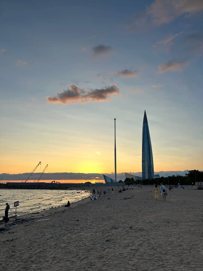
The clearest case was a proposed tower on the Okhta river mouth, close to the historic centre, which drew sustained international criticism on the grounds that it would dominate the low horizontal skyline the inscription is built on. The project was moved: the tower was eventually built as the Lakhta Center, far out on the Gulf shore, where it sits well outside the historic panorama. It is still visible from parts of the centre on a clear day, which tells you how much the argument was about sightlines rather than distance.
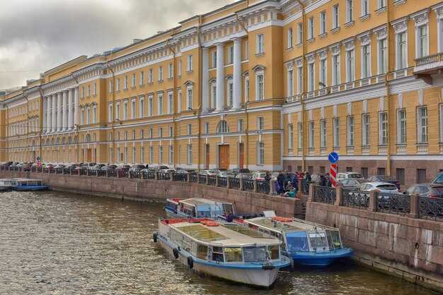
Boundary definition has been the other long-running theme. A property assembled from three dozen components, some of them linear roads and river banks, is genuinely hard to map, and clarifying those limits has taken years of back-and-forth.
Seeing it without a car and without a plan falling apart
The core, on foot, in one day. Palace Square and the Hermitage exterior, then the Admiralty, then along the embankment to St Isaac's, across to the Spit of Vasilievsky Island for the panorama, and over to the Peter and Paul Fortress. That is the inscribed centre in its most concentrated form, and it is walkable.
The suburbs, one per day. Peterhof is the obvious first choice and is reachable by hydrofoil from the city embankments in summer, which is both faster and better than the road. Tsarskoye Selo and Pavlovsk sit close enough together to combine if you start early. Gatchina and Oranienbaum are quieter and get a fraction of the visitors.
Kronstadt is now connected by the ring-road dam, so it is a straightforward bus or car trip rather than the closed military town it was until the 1990s.
A note on tickets. The palace-and-park ensembles usually sell park entry and palace entry separately, and the palace slots are the ones that sell out. In high summer, buying the palace slot ahead is the difference between a visit and a walk in a garden.