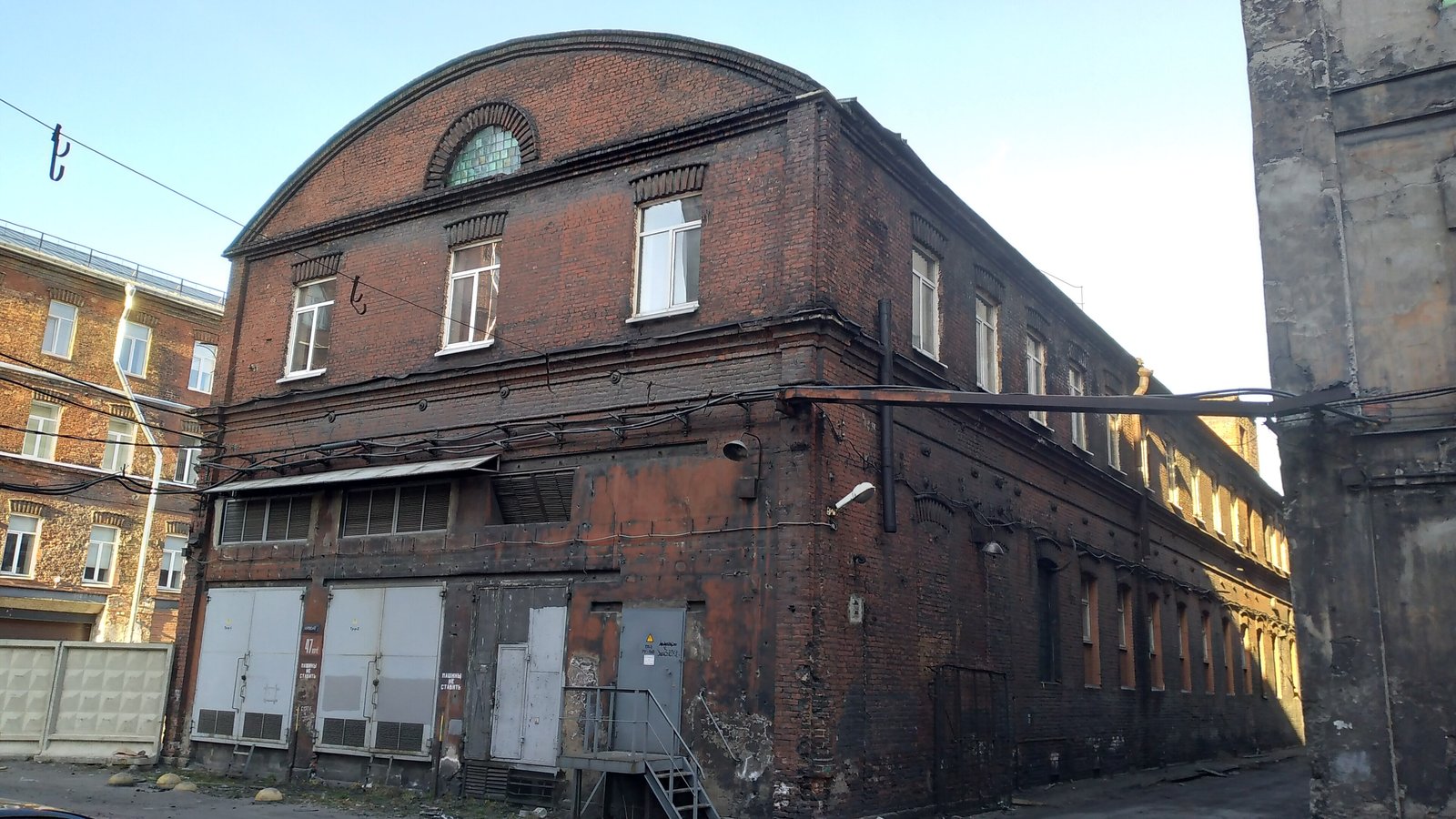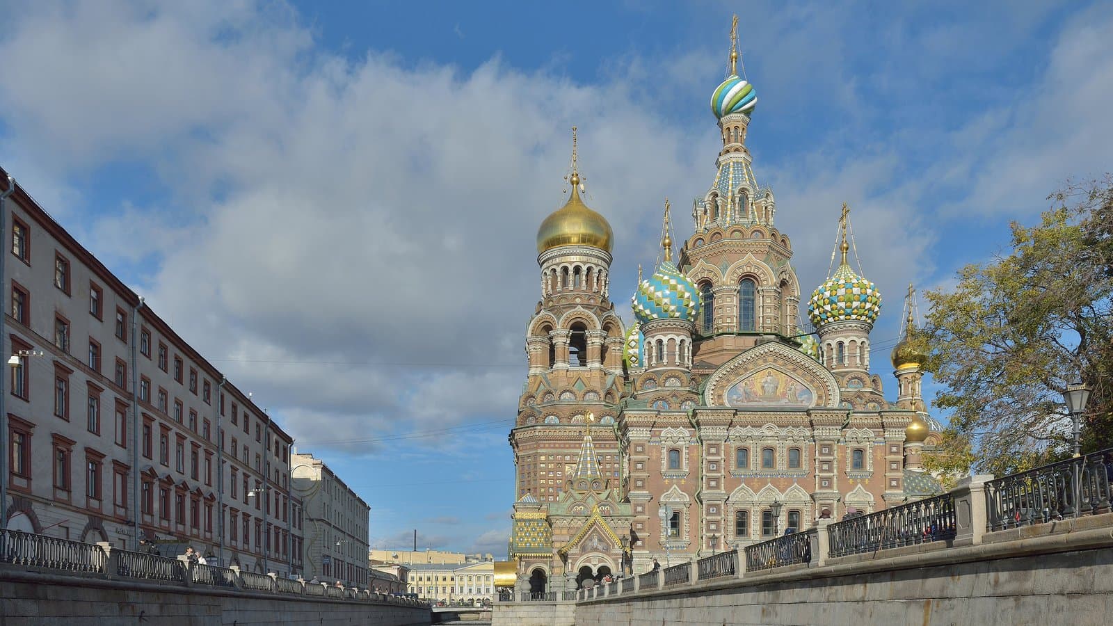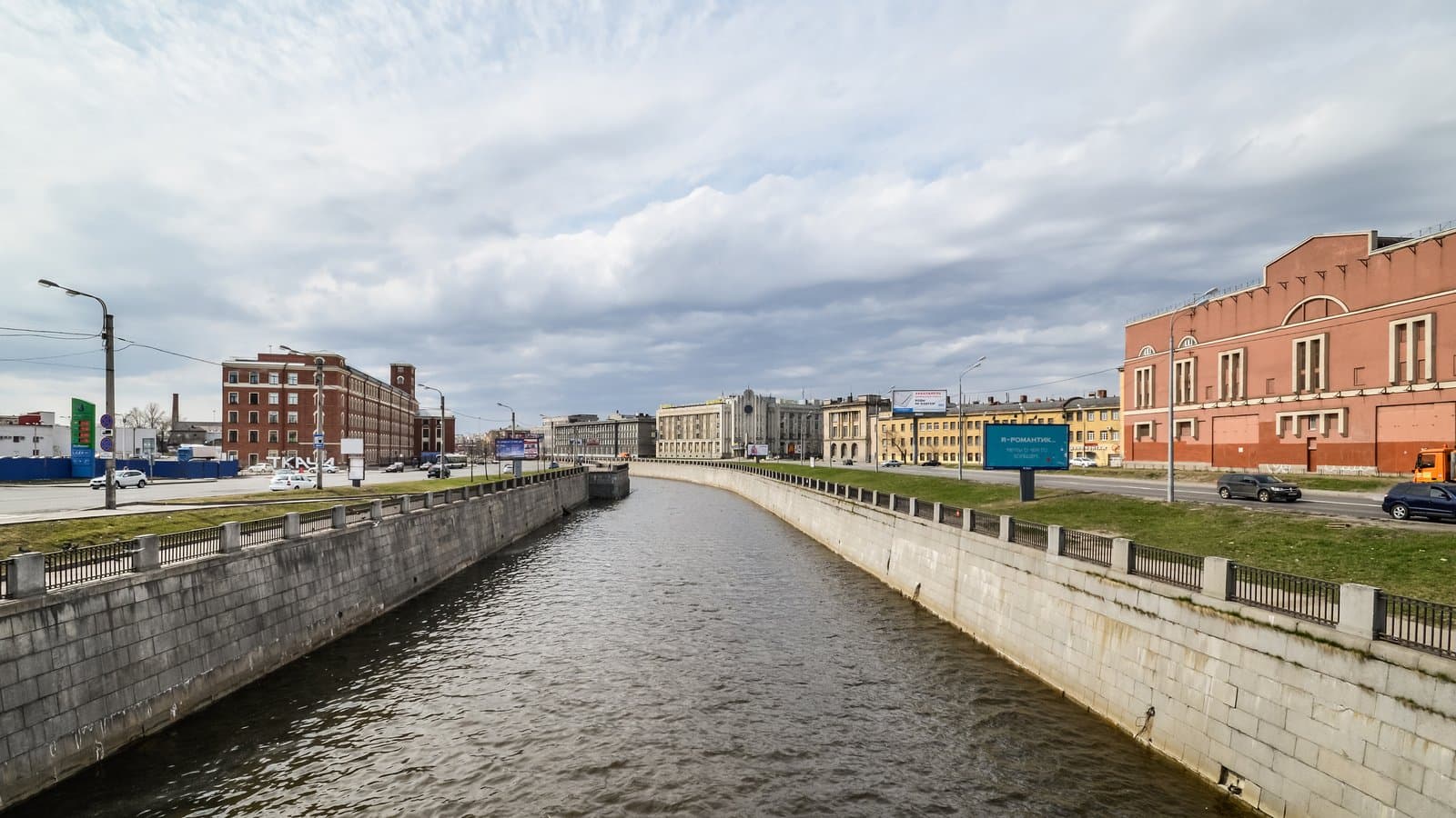
The Obvodny Canal (Obvodny kanal, literally the "Bypass Canal") is St Petersburg without the grand façades: red-brick mills, a gasholder, two old railway stations and the blocks of the Red Triangle (Krasny Treugolnik) factory, which once made galoshes for the whole country. The route from Obvodny Kanal metro to Narvskaya metro runs about 6.5 km along the south embankment: roughly 1 hour 20 minutes of walking, or 2–2.5 hours with stops.
This walk is for people who have already seen Nevsky Prospekt and want to understand how the city earned its living in the 19th century. To be upfront: a busy multi-lane road runs along the canal, so it is noisy, and the most interesting stretch, by the Red Triangle, is also the emptiest. Here is what we checked on 19 October 2026: addresses and opening hours on Yandex Maps and the venues' own websites, the history of the stations and the factory in the Encyclopaedia of Saint Petersburg, and walking distances between the stops. In autumn, set off by early afternoon at the latest: on 21 October the sun sets at 17:33, and by mid-November at around 16:30.
🏭 Where to start: Obvodny Kanal metro and the Tkachi building
Obvodny Kanal station is right by the Novo-Kamenny Bridge, where Ligovsky Prospekt crosses the canal. Come out and turn left, heading west along the south side of the canal, the side with even house numbers. Every stop on the route is on this side, so you will hardly need to cross the road.
After 480 metres, 6 minutes, you reach the large red-brick building of a former cotton-spinning mill at 60 Obvodny Canal Embankment: it is the brick block on the left of this article's cover photo. It used to house the Tkachi ("Weavers") creative space, but Yandex Maps now lists it as closed, so this is a look at the façade only. If you would like to start from a rooftop instead, there is an option: Loft Project Etagi, with its viewing platform, is not on the canal but at 74 Ligovsky Prospekt, by Ligovsky Prospekt metro. It is open daily 10:00–22:00 and is about a kilometre's walk from Obvodny Kanal station.
🔭 The gasholder and Planetarium No. 1
Next comes 900 metres, 11 minutes, past the Borovoy Bridge to a round brick gasholder. It is a windowless cylinder under an iron roof, built to store gas, and one of the most recognisable industrial silhouettes on the canal. Inside it, at 74Ts Obvodny Canal Embankment, is Planetarium No. 1 (Planetariy No. 1): a film at the start of the programme tells the story of how the old gasholder became a planetarium.
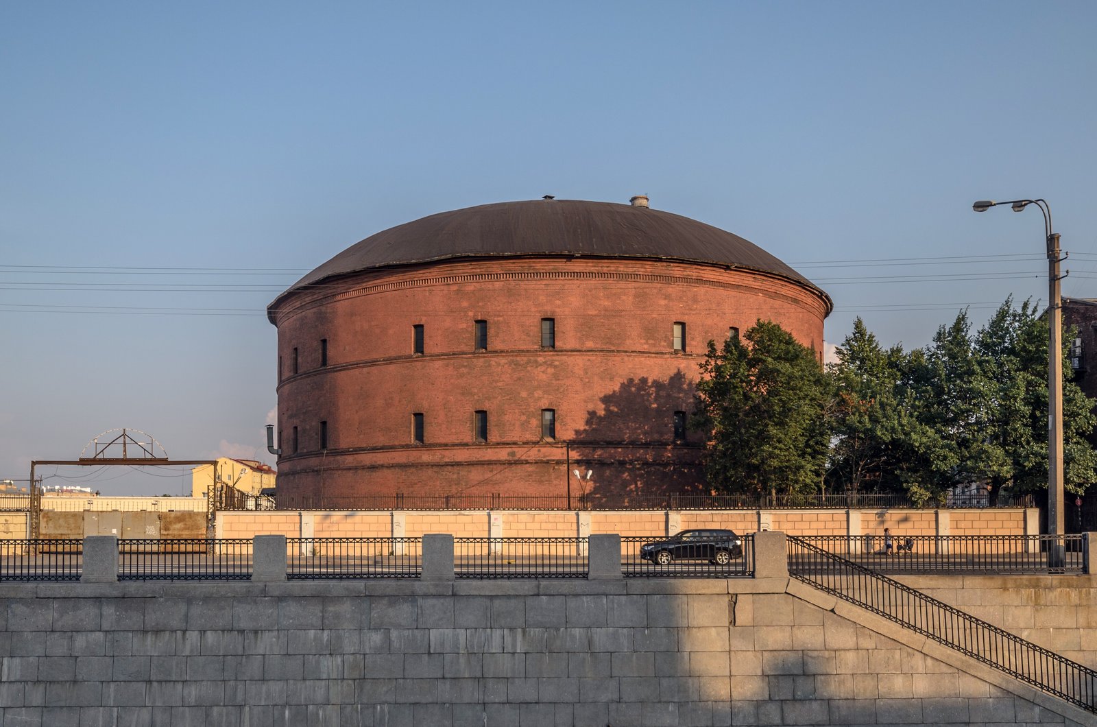
A gasholder on the Obvodny Canal Embankment — Photo: Florstein, Wikimedia Commons, CC BY-SA 4.0
The planetarium is open daily 10:00–22:00; shows run under the dome, and prices depend on the programme, so check the website. This is the first place to sit out a shower. Don't mix up the addresses: the planetarium is at 74 Obvodny Canal, and Loft Etagi at 74 Ligovsky Prospekt. For how the city's planetariums compare, see St Petersburg planetariums: which to choose.
🌉 The bridges: from Borovoy to Varshavsky
The next stretch is about 900 metres, 12 minutes, to the Novo-Moskovsky Bridge, which carries Moskovsky Prospekt over the canal. This is the noisiest junction on the route, so only cross at the lights. Another 800 metres, 10 minutes, brings you to the Varshavsky (Warsaw) Bridge in line with Izmailovsky Prospekt. It was built in 1869–1870 and named after the station next to it.
🚂 The Warsaw Station and the Church of the Resurrection
The Varshavsky (Warsaw) Station at 118 Obvodny Canal Embankment dates back to 1853, when the first section of line opened to Gatchina; the railway later reached Pskov and, in 1862, Warsaw. The present building went up in 1855–1860, and trains left from here for Warsaw, Berlin, Prague and Paris. There have been no trains here for a long time: the historic building now houses VOKZAL 1853, three floors with a food hall, a concert venue and a cinema.
This is the main place to warm up and eat: VOKZAL 1853 is open Sunday to Thursday 10:00–22:00 and on Fridays and Saturdays until 23:00, with more than 90 food outlets inside. 250 metres away, at 116 Obvodny Canal Embankment, stands the Church of the Resurrection of Christ (Voskresenskaya tserkov) with its tall bell tower. Yandex Maps lists it as open 8:00–20:00 on weekdays and 6:30–20:00 at weekends.
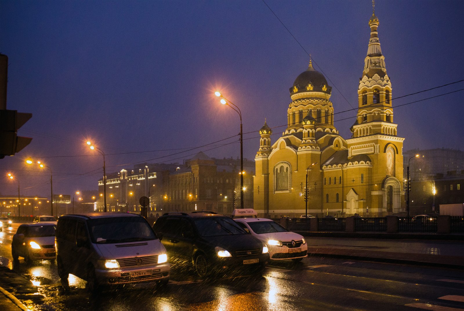
The Church of the Resurrection by the Warsaw Station in the evening — Photo: Bestalex, Wikimedia Commons, CC BY-SA 4.0
🕰 The Baltic Station: the Bure clock and the great hall
From the church to the Baltiysky (Baltic) Station is about 700 metres, 9 minutes. The building went up in 1855–1857 to a design by the architect Alexander Krakau. In the middle of the façade is a semicircular glazed window between two towers, and in it a street clock by the Pavel Buhre firm is still keeping time. Today it is a working station for suburban trains, open around the clock, and the entrance to Baltiyskaya metro is in its left wing.
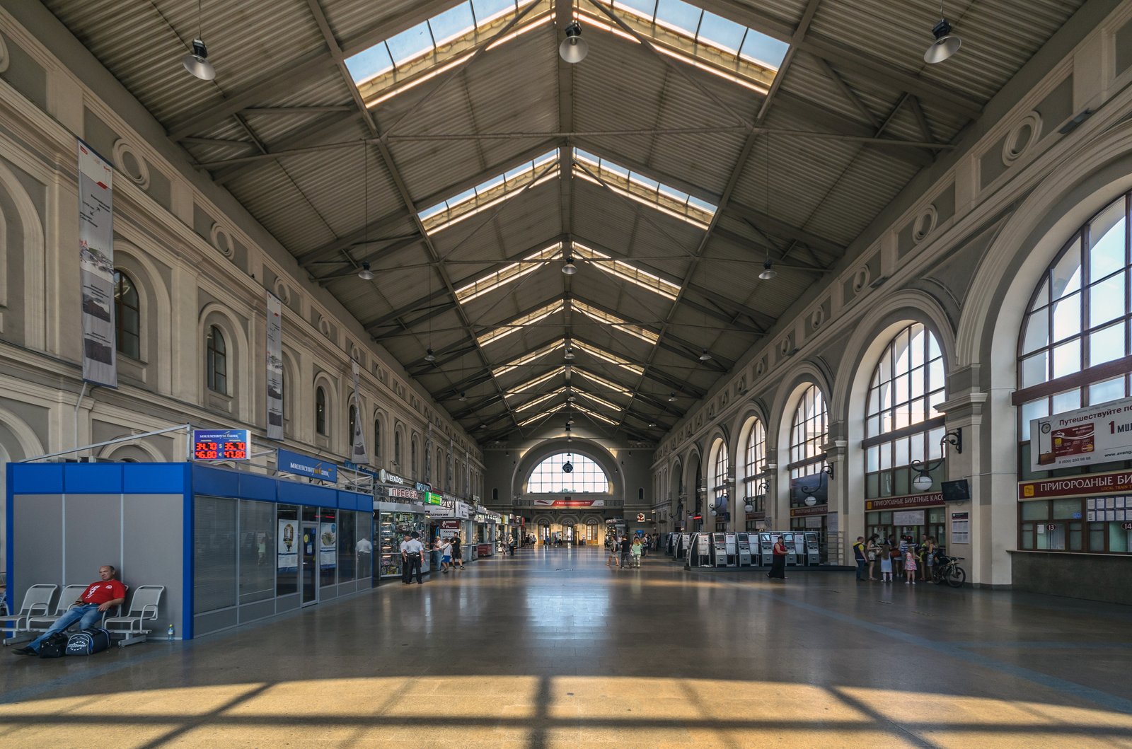
The waiting hall of the Baltic Station — Photo: Florstein, Wikimedia Commons, CC BY-SA 4.0
If you are tired, this is a good place to end a shorter version of the walk: from Obvodny Kanal metro to Baltiyskaya is about 4 km, around an hour and a half with stops.